A severe thunderstorm watch has been issued until 11 PM for the eastern Texas Panhandle, West Texas, Permian Basin, western Concho Valley, and into the northern Edwards Plateau. Some of the cities included in this watch are Sanderson, Fort Stockton, Ozona, Sonora, Odessa, Midland, Big Spring, San Angelo, Sweetwater, Lamesa, Post, Lubbock, Spur, Plainview, Childress, Pampa, and Canadian. Additional watches may be needed later tonight for the Big Country, western North Texas, and the eastern Concho Valley.

A severe thunderstorm watch is in effect until 11 PM for the eastern Texas Panhandle, West Texas, the Concho Valley, and Permian Basin. Additional watches may be needed later this evening for Northwest Texas, Big Country, and the eastern Concho Valley as storms move in from the west.
This afternoon, the most intense storms are expected to be semi-discrete supercells, posing a threat of very large hail, possibly the size of tennis balls, and localized hurricane-force wind gusts over 75 MPH. Strong outflow winds may cause blowing dust, and there is also a possibility of a brief tornado. The lightning from these storms could ignite fires due to dry grasses and brush.
Most storms will slowly move east/southeast this afternoon, as there are no strong steering currents aloft to push them along. As we move past dinner time and into the evening, the storms are likely to merge into a line that begins accelerating southeast across Northwest Texas, West-Central Texas, and further south into the Big Country and Concho Valley. Some of tonight’s storms could continue to produce damaging wind gusts over 60 mph, hail, and heavy rain.
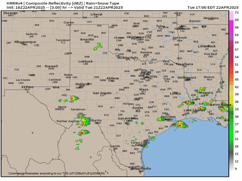
Click the ?/image for a full animation. Simulated weather model radar this afternoon through Wednesday morning; showing storms pushing east across the western half of Texas tonight and to Interstate 35 around 3-6AM Wednesday.
The storms will slowly weaken late tonight as they move toward North Texas, Texoma, and the Hill Country. Some storms are expected to reach I-35 in North and Central Texas (including the D/FW Metroplex south to Austin) a few hours before sunrise on Wednesday, but they will likely be weaker compared to this evening’s activity.