
The monsoon season has begun across the Borderland and Far West Texas. Moisture from Hurricane Erick in the Pacific has flowed north into the southwestern United States. This moisture will bring numerous showers and storms to the El Paso area, Far West Texas, Guadalupe and Davis Mountains, and the western Big Bend today, tonight, and on Tuesday.
Flash flooding from heavy rain is expected, especially where burn scars are present, creating a considerable flooding threat. A few storms may also produce damaging wind gusts.
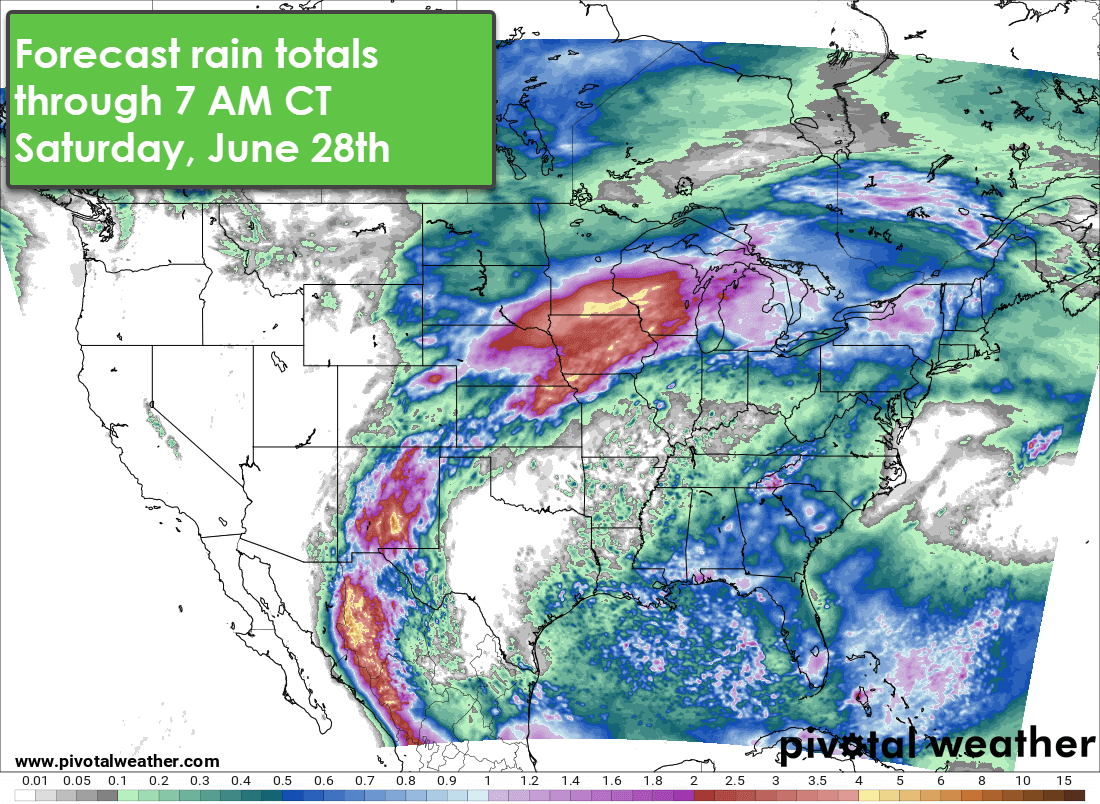
Heavy rain is expected from the Southwest into the Plains and Midwest through Saturday, June 28, with several inches possible in localized areas.
Across the Texas Gulf Coast, Coastal Bend, Coastal Plains, and Southeast Texas, afternoon ‘popcorn’ showers and storms are expected. These storms typically rain themselves out within an hour, and most people won’t see rain. Where they do develop, lightning, gusty winds, and very localized heavy rain are possible. When thunder roars, go indoors! Activity usually decreases quickly as we approach sunset each day. Some showers might also make their way toward San Antonio and Austin during late afternoons.
Meanwhile, the upper-level heat dome (high-pressure ridge) is stationed on the East Coast of the United States. Cities like Boston, New York City, Philadelphia, and Washington D.C. are expecting temperatures to exceed 100 degrees, with heat index values above 110 degrees. Overnight lows will struggle to drop below 78-82 degrees, making for some very hot nights—reminiscent of Texas-level heat.
Fortunately, that heat dome is currently off to our east, and we don’t expect it to return to our part of the world in the next seven days. While temperatures may inch closer to the century mark by the weekend, the absence of high-pressure overhead should help to spark at least isolated afternoon showers, providing some relief for a few lucky areas.